
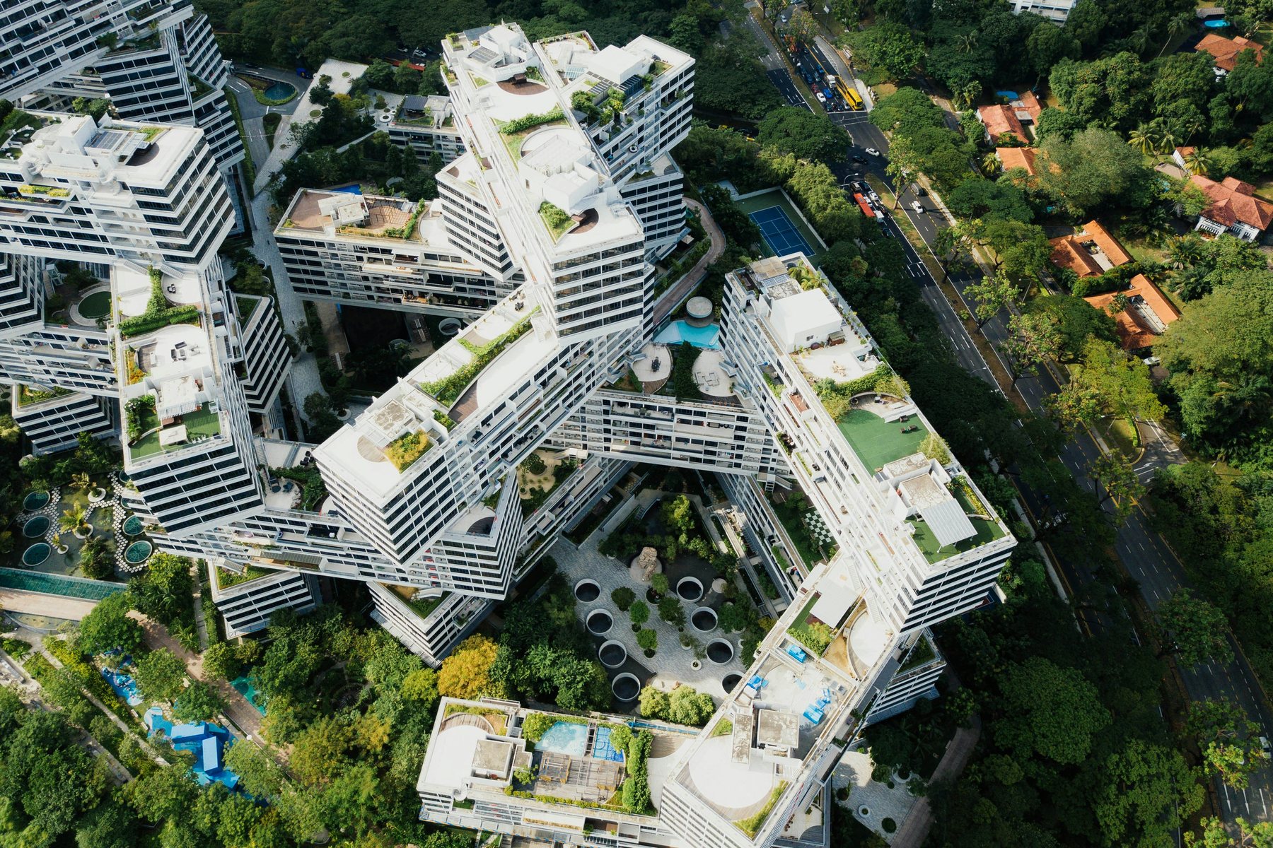
Urban Planning · Ghana & West Africa
Cities, campuses and communities, planned as a whole.
Master plans that bring buildings, streets, green space and services together, so places work on day one and grow well for decades.
Good places are planned before they are built.
Every successful neighbourhood starts with a clear framework: where people live, work and gather, how they move between them, where shade and open space fall, and how water, power and drainage run beneath it all. We plan that framework first, so every building that follows has a clear place and purpose, and the whole can be funded and delivered in sensible phases.
What good planning delivers
Places that work for people
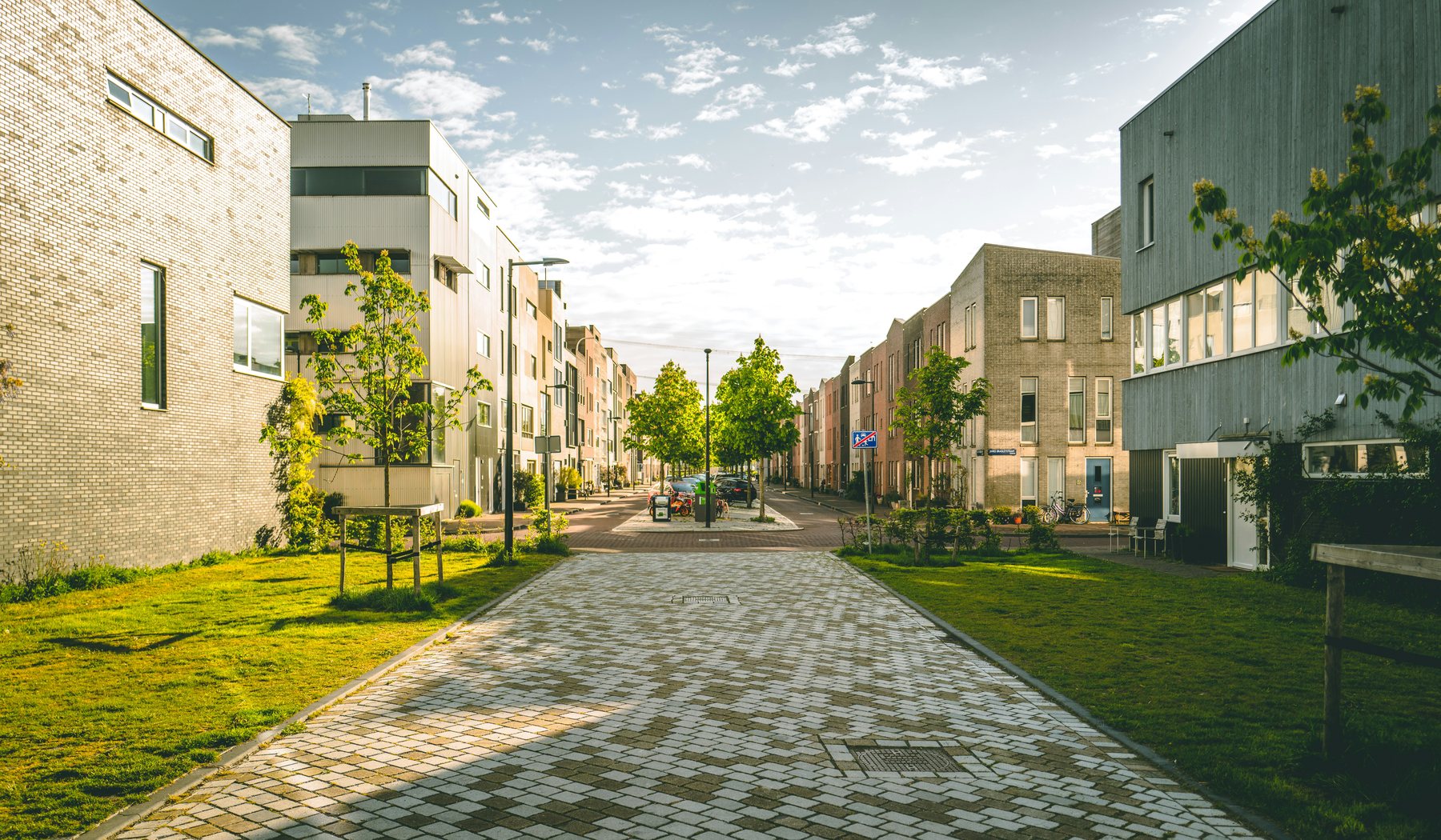
Walkable, connected streets
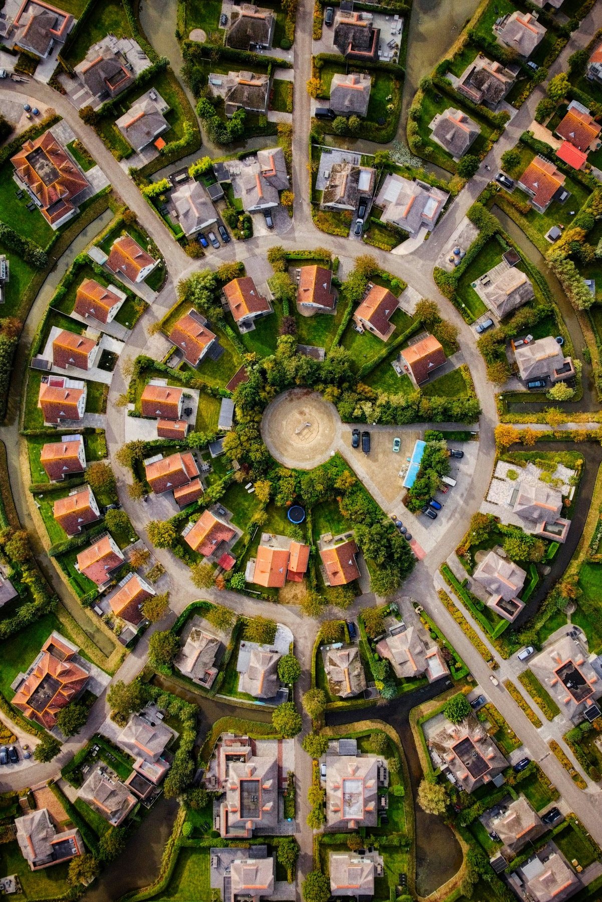
Clear neighbourhood form
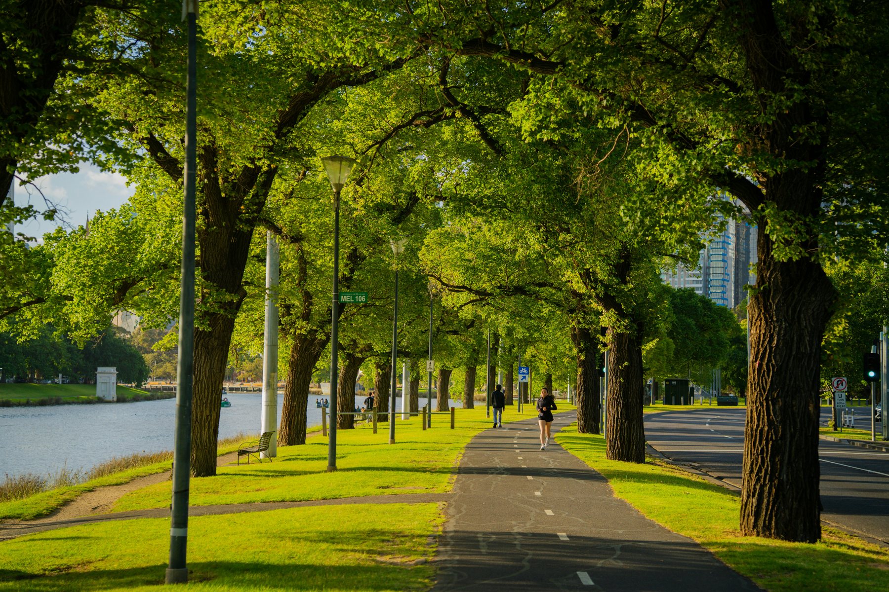
Shaded avenues & paths
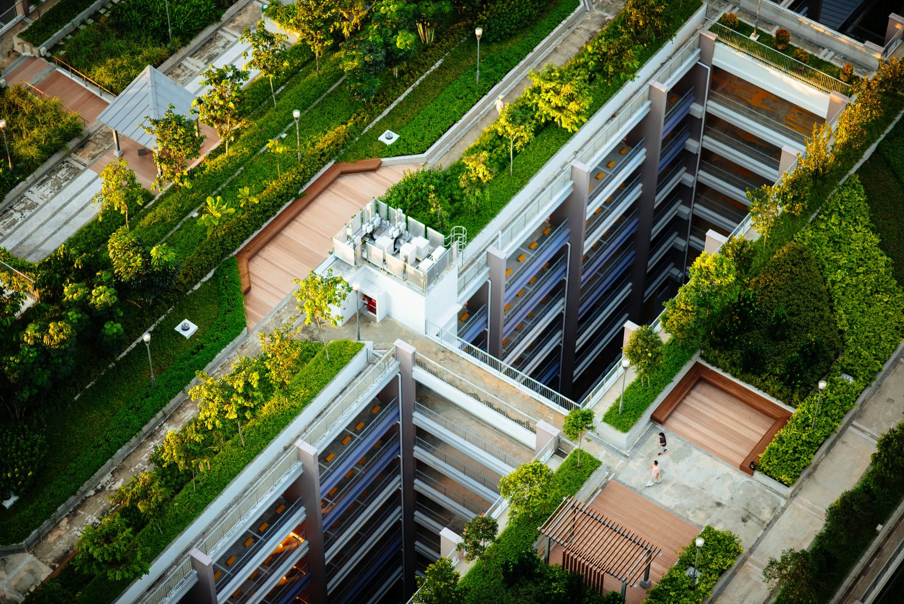
Liveable, green density
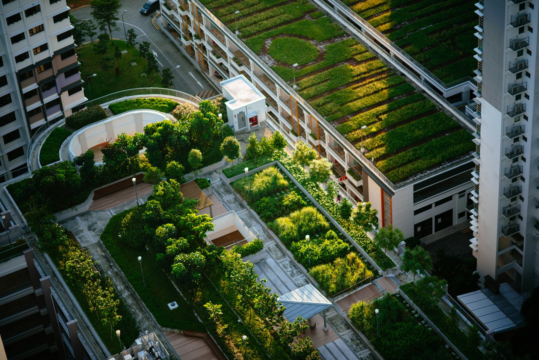
Shared courtyards & gardens
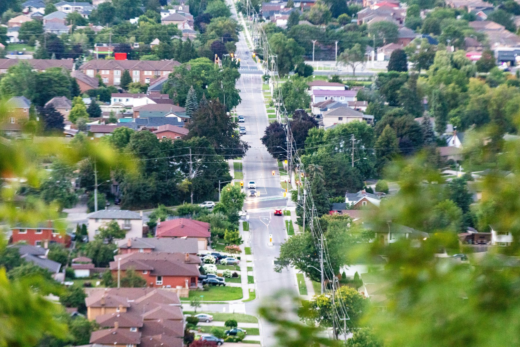
Planned expansion
Our planning partner
In partnership with Zhejiang Yaohua Planning & Architectural Design
For large-scale master planning we work alongside Zhejiang Yaohua Planning & Architectural Design Co., Ltd. (Hunan Branch), a design institute established in 2007 with offices across China. Together we bring experience from city districts, university campuses and new residential communities to projects in Ghana and West Africa.
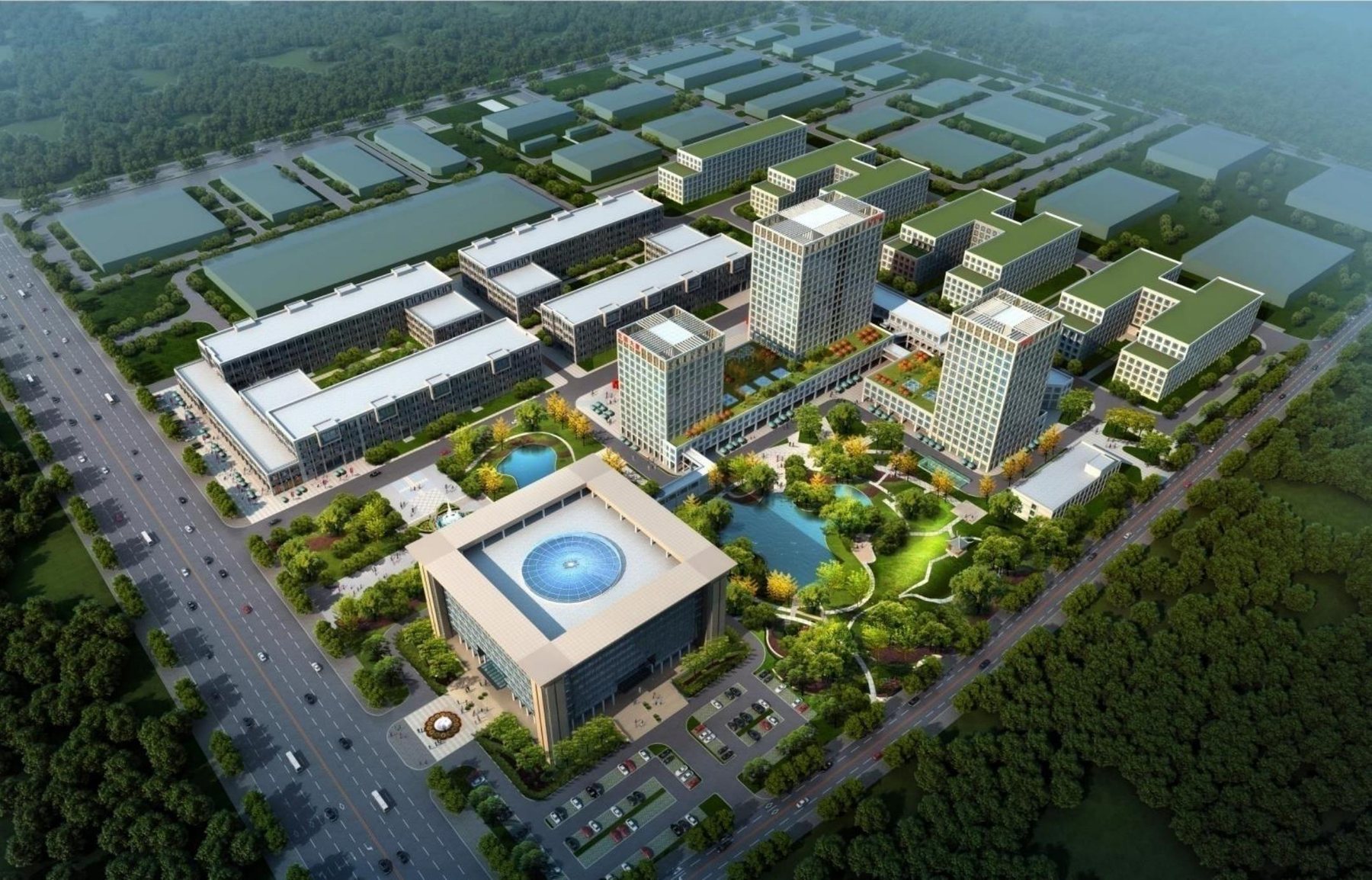
Partner project · Campus master plan · Hunan, China
University Science & Technology Innovation Base
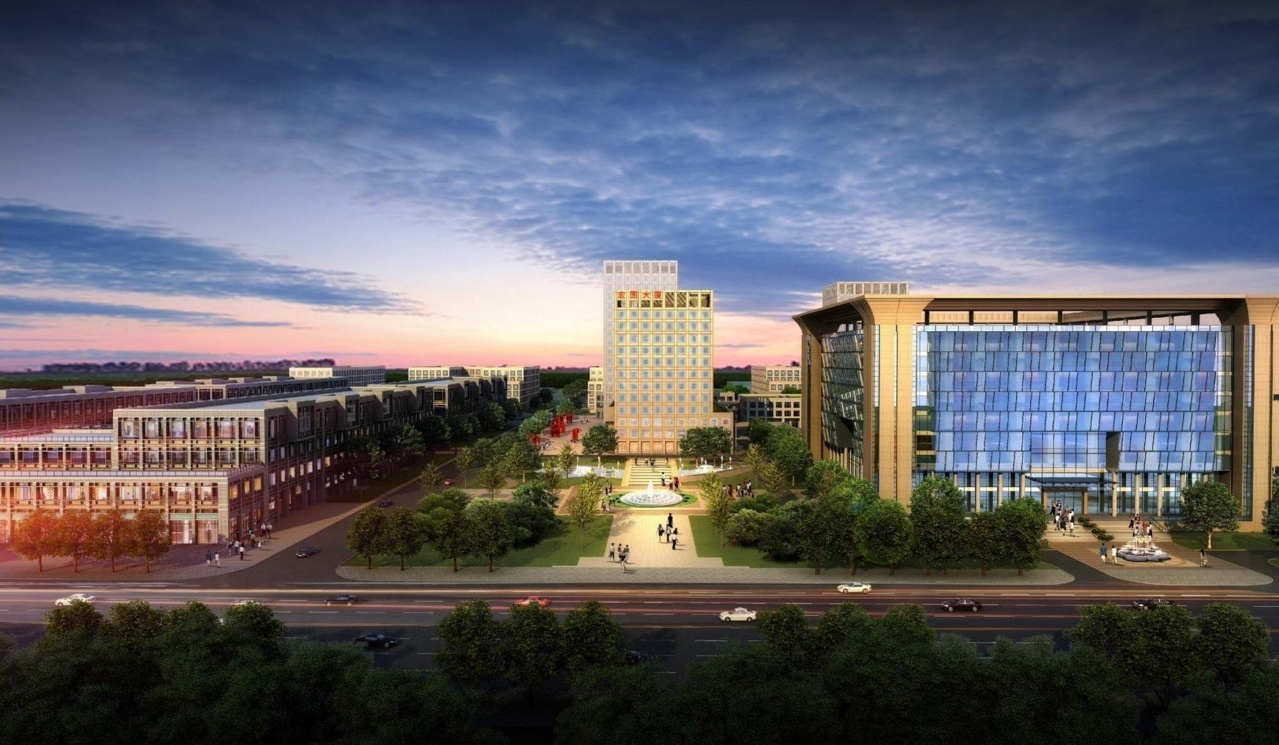
A complete innovation campus planned on a 21-hectare site, with research and office buildings arranged around a central green axis, landscaped courtyards and a clear network of streets and walkways.
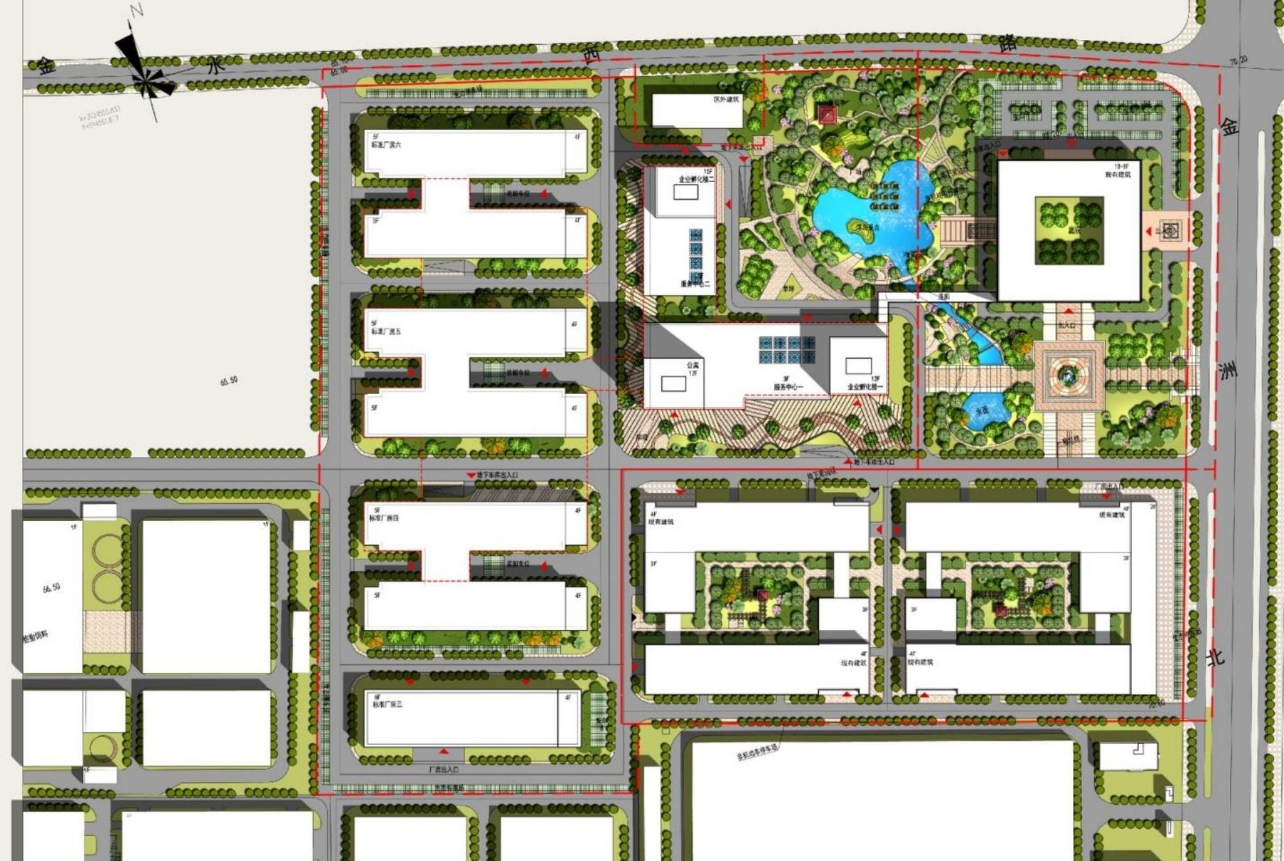
The master plan
A campus organised around a green spine
Buildings are grouped into clear zones along a central landscaped axis, so research, teaching and shared facilities sit within a short, shaded walk of each other.
- 01Central green axis and plazas
- 02Research and office clusters
- 03Courtyards and water features
- 04Clear road, parking and service access
Partner project · Historic district renewal · Changsha
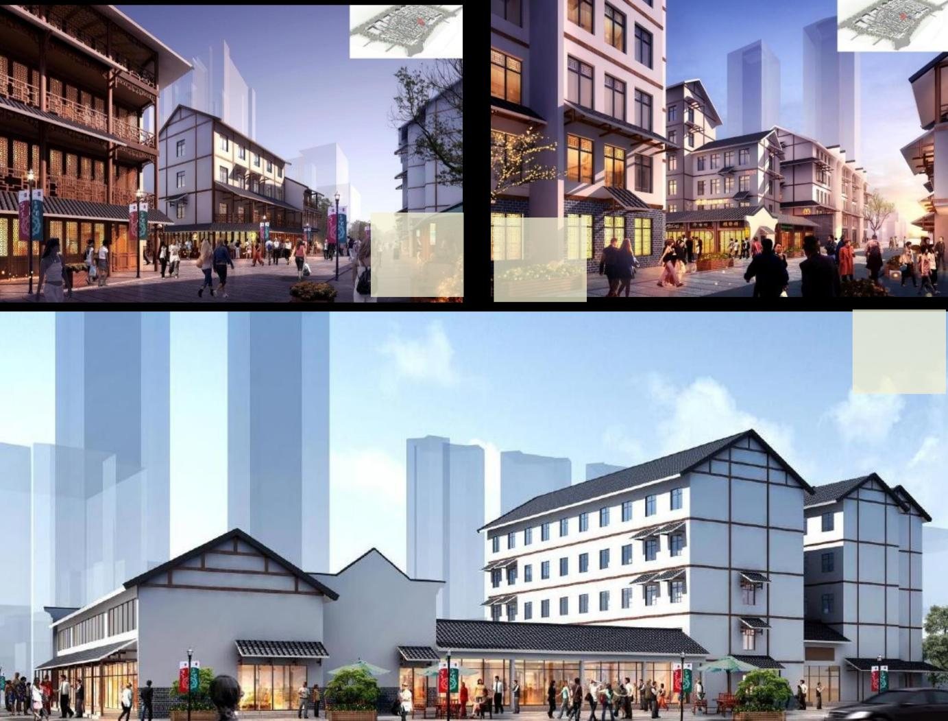
Chaozong Street Historic & Cultural District
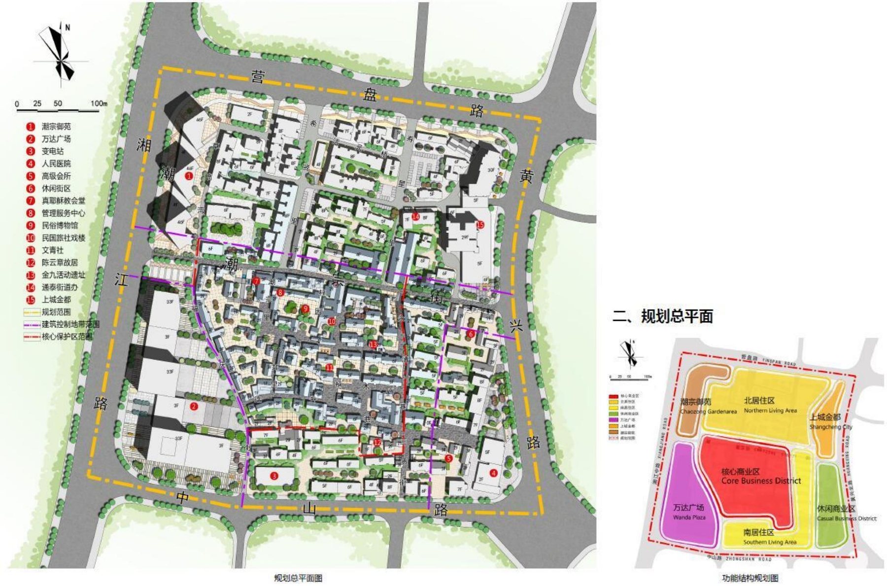
Urban planning for a 24.8-hectare historic quarter, protecting its traditional streets and lanes while renewing frontages, public spaces and the surrounding urban fabric.
- 0124.8 ha planning area
- 02Protection and building-control zones
- 03Street and frontage renewal
- 04New public spaces and connections
More partner projects
Waterfronts, new towns and communities
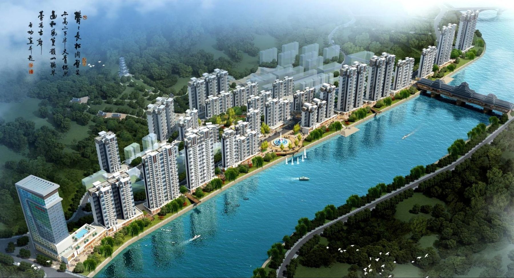
Wangjiang New City
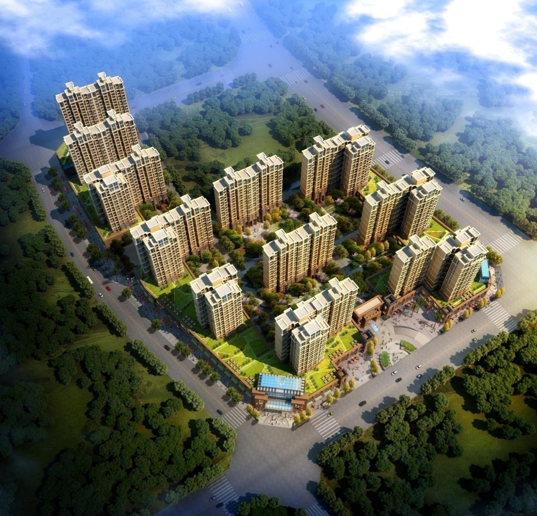
Ping’an Community
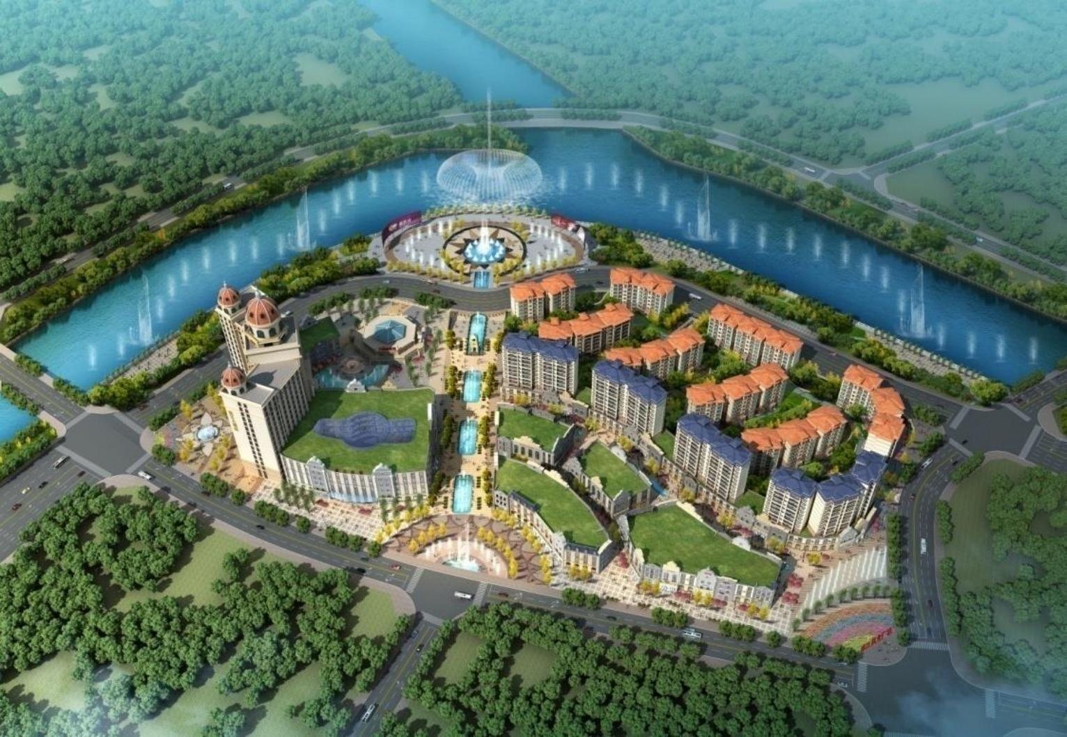
Wuyang River Waterfront
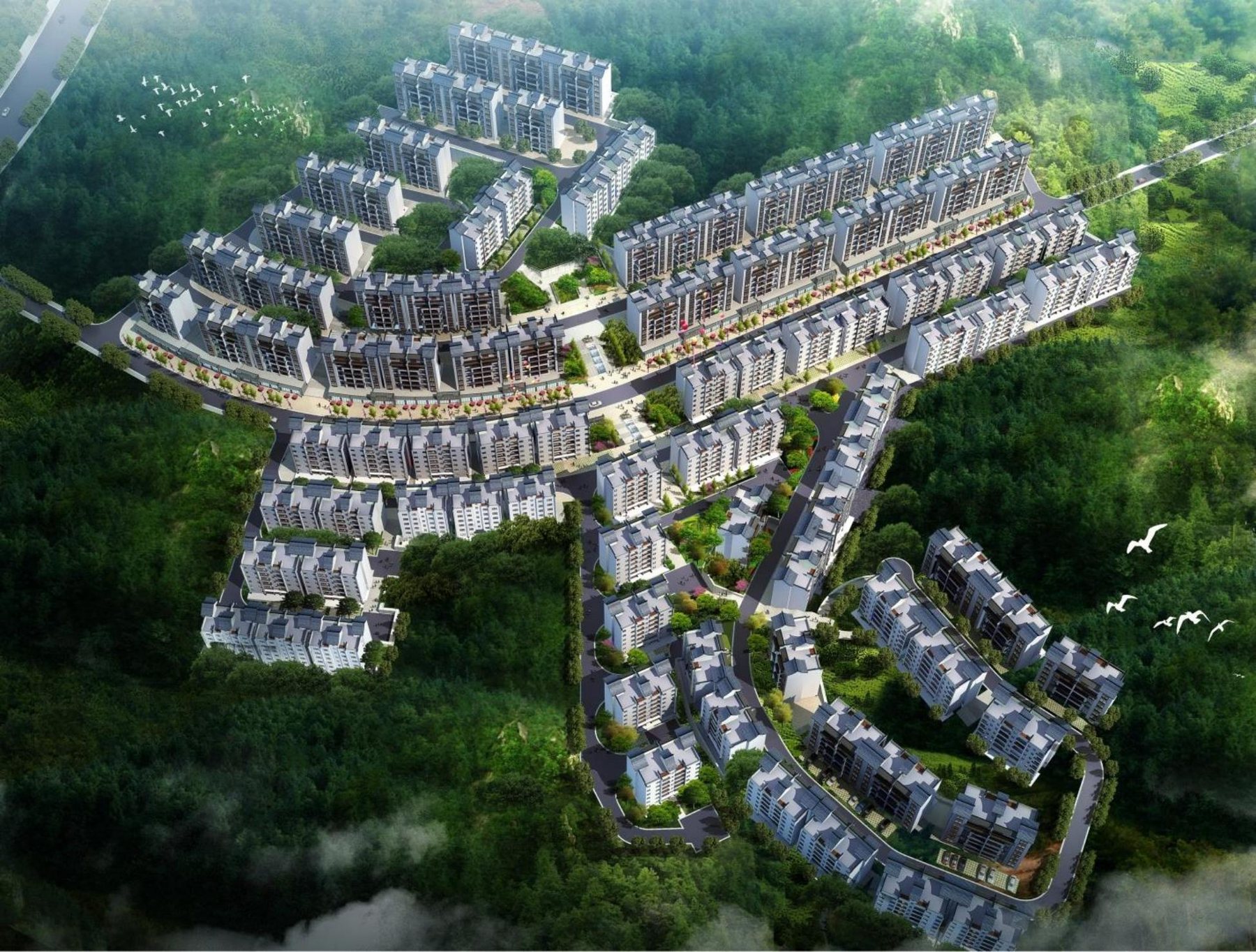
Li Jia Community
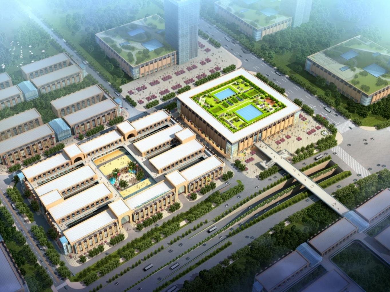
Xiyingmen Plaza
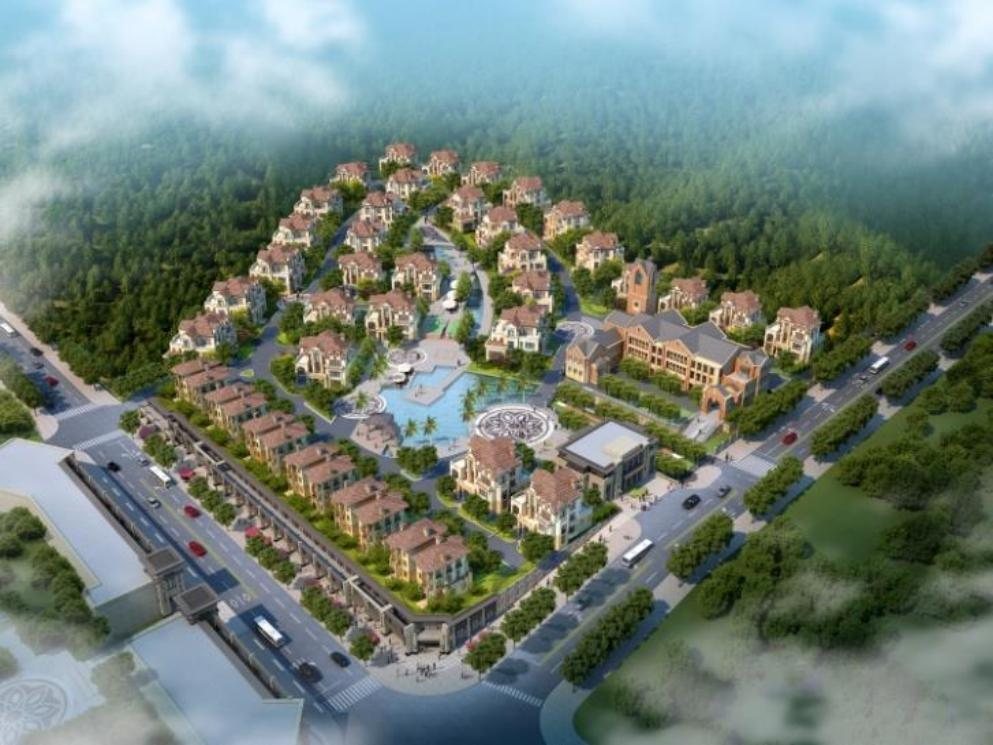
Qingzhuyuan Community
What we do
Urban planning services
From an early feasibility study to a full master plan ready for approval and phased delivery.
01
Site analysisTopography, access, climate, existing services and planning constraints studied before any layout is drawn.
02
Master planningOverall layouts for districts, campuses, estates and mixed-use sites, with land use, density and building zones.
03
Movement & accessRoads, footpaths, parking and service routes planned for safety and ease of movement.
04
Landscape & open spaceParks, courtyards, tree-lined streets and shade designed as part of the plan, not added at the end.
05
Infrastructure coordinationDrainage, water, power and waste routes coordinated with engineers from the start.
06
Phasing & approvalsPlans arranged in buildable phases, with drawings prepared for planning permission.
How we work
From empty land to a plan you can build
We walk the land with you and agree what the site needs to hold.
Access, levels, climate, services and planning rules mapped.
Alternative layouts compared so you can choose the right direction.
The chosen layout developed in full, with 3D views and phasing.
Drawings for permits, then each phase designed within the plan.
Start a project